


Collins Essential Road Atlas Europe
Collins Essential Road Atlas Europe
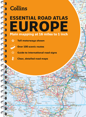
Up-to-date A4 spiral bound road atlas of Europe. Contains clear, large-scale, detailed road mapping, perfect for touring the Mediterranean, Iberian peninsula, Scandinavia and all European tourist destinations. Main features.
- Clear, easy to follow road maps at a scale of 1:1,000,000.
- Europe routes and motorways are easily distinguished on the mapping.
- The maps also show international road classifications, road distances in kilometers and relief is shown by attractive layer tints. - Route planning maps
- Over 100 scenic routes shown
- Toll motorways shown
- Guide to international road signs, driving advice and useful internet links
- Route maps of 64 major cities
- Street plans of 16 major cities
- Locator diagrams on each page to help you navigate
- More detailed road maps extending from Amsterdam to Munich, making route following easier through this densely populated area.
- The mapping extends from the North Cape (Norway) to Gibraltar and from Ireland to east of Moscow. Also includes Iceland and Cyprus.
PRP: 154.69 Lei
Acesta este Pretul Recomandat de Producator. Pretul de vanzare al produsului este afisat mai jos.
139.22Lei
139.22Lei
154.69 LeiPrimesti 139 puncte

Livrare in 2-4 saptamani
Descrierea produsului
Up-to-date A4 spiral bound road atlas of Europe. Contains clear, large-scale, detailed road mapping, perfect for touring the Mediterranean, Iberian peninsula, Scandinavia and all European tourist destinations. Main features.
- Clear, easy to follow road maps at a scale of 1:1,000,000.
- Europe routes and motorways are easily distinguished on the mapping.
- The maps also show international road classifications, road distances in kilometers and relief is shown by attractive layer tints. - Route planning maps
- Over 100 scenic routes shown
- Toll motorways shown
- Guide to international road signs, driving advice and useful internet links
- Route maps of 64 major cities
- Street plans of 16 major cities
- Locator diagrams on each page to help you navigate
- More detailed road maps extending from Amsterdam to Munich, making route following easier through this densely populated area.
- The mapping extends from the North Cape (Norway) to Gibraltar and from Ireland to east of Moscow. Also includes Iceland and Cyprus.
Detaliile produsului
De pe acelasi raft
-

PRP: 154.69 Lei
139.22 Lei
139.22 Lei154.69 Lei
-
PRP: 247.69 Lei
222.92 Lei
222.92 Lei247.69 Lei
-
PRP: 154.69 Lei
139.22 Lei
139.22 Lei154.69 Lei
-
PRP: 115.86 Lei
104.27 Lei
104.27 Lei115.86 Lei
-
PRP: 115.86 Lei
104.27 Lei
104.27 Lei115.86 Lei
-
PRP: 115.86 Lei
104.27 Lei
104.27 Lei115.86 Lei
-
PRP: 115.86 Lei
104.27 Lei
104.27 Lei115.86 Lei
-
PRP: 111.29 Lei
100.16 Lei
100.16 Lei111.29 Lei
-
PRP: 61.94 Lei
55.75 Lei
55.75 Lei61.94 Lei
De acelasi autor
-
PRP: 111.29 Lei
100.16 Lei
100.16 Lei111.29 Lei
-
PRP: 154.69 Lei
139.22 Lei
139.22 Lei154.69 Lei
-
PRP: 105.09 Lei
94.58 Lei
94.58 Lei105.09 Lei
-
PRP: 55.73 Lei
50.16 Lei
50.16 Lei55.73 Lei
-
PRP: 204.29 Lei
183.86 Lei
183.86 Lei204.29 Lei
-
PRP: 55.48 Lei
49.93 Lei
49.93 Lei55.48 Lei
-
PRP: 247.69 Lei
222.92 Lei
222.92 Lei247.69 Lei
